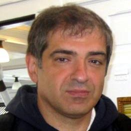
Professor at the Faculty of Sciences of the University of Porto (FCUP), Department of Geosciences, Environment, and Spatial Planning (DGAOT), and researcher at the CIIMAR (Interdisciplinary Centre of Marine and Environmental Research), in the Land-Ocean-Atmosphere Interactions group. PhD in Photogrammetry (2001) and MSc in GIS (1993) at the University College London , Department of Geomatic Engineering, and BSc in Geographic Engineering at FCUP.

Subjects in the areas of: Photogrammetry, Cartography, Geographic Information Systems

Course Director of the degree in Geospatial Engineering

Member of the scientific committee of the Master's Degree in Geospatial Engineering and the PhD in Geographic Engineering
Main interests in the application of Photogrammetry and high-resolution mapping to environmental monitoring. Also interested in the integration of GNSS, inertial navigation, and video for mobile mapping. Some ongoing projects:

4Map4Health - Mapping of forest health, species, and forest risks using Novel ICT Data and Approaches (CHIST-ERA)

CAPTA - Climate neutrality: the role of blue carbon on the coast of Portugal and Galicia (Interreg POCTEP)

GEMOP - Galileo and EGNOS Monitoring Of Performances (EUSPA)

The list of publications can be found through the record ORCID or through SCOPUS