


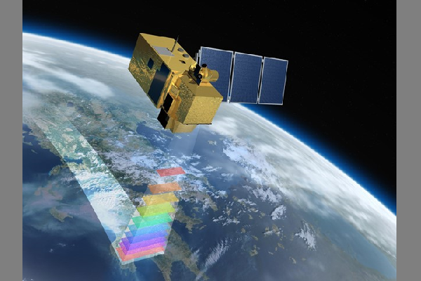
Fisrt Degree in Geospatial EngineeringThe exploration, manipulation and analysis of geospatial information, specifically that obtained from Earth observation sensors, or global positioning and navigation systems, among other geographic information acquisition techniques, is a national bet and also a strategic area at a European level. Geospatial Engneering has applications on a wide variety of fields, such as:
|
|
|
The study cycle in Geospatial Engineering (GE) combines a deep knowledge of fundamental sciences and computer science with specific technological areas such as remote sensing, satellite positioning and geographic information systems (GIS). The new degree in GE is replacing the offer that exist in UP since 1921 in the area of Surveying Engineering, which is one the oldest in the University of Porto. |
Admissions
Entrance Exams: Mathematics A (19) + Physics and Chemistry (07)
num. Clausus: 25
Intended Learning Outcomes
A Graduate in Geospatial Engineering should:
- Perform tasks in the area of positioning and navigation;
- Analyze and process remote sensing data;
- Perform tasks related to registration;
- Manipulation of geographic data at private sector or public sectors, being able to apply them both in the professional activity and in scientific research;
- Explore, manipulate and analyze geospatial information, obtained from remote Earth observation sensors, or global positioning and navigation systems, among other geographic information acquisition techniques;
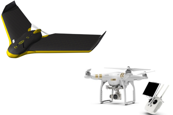
- Acquisition of geographic information using unmanned aerial vehicles (UAVs), in support of public policies and private investments.
- To develop, implement and make available GIS applications to support different areas: agronomy, environment, geology, biology, etc.
Career Opportunities
Graduates in Geospatial Engineering can perform tasks in the private sector, public administration, European institutions or scientific research in different areas:
- satellite positioning and navigation; processing and analysis of remote sensing data;
- study of the coastal and deep ocean;
- land registry;
- treat, aggregate and make available information in a web environment;
- explore, manipulate and analyze geospatial information, including that were obtained from Earth observation sensors, or global positioning and navigation systems, among other geo-spatial / geospatial information acquisition techniques;
- acquire geospatial information using terrestrial, marine and unmanned aerial vehicles (UAVs);
- develop, implement and make available GIS applications for applications in agronomy, environment, geology, biology, etc.
Graduates may pursue 2nd cycle studies in Geographical Engineering or Remote Sensing, in the Faculty of Sciences of the University of Porto.
Study Plan
Please consult the Study plan on the official WebPage.
1st Year
1st Semester
| Name | ECTS | Teacher |
|---|---|---|
| Mathematics I | 6 | -- |
| Physics I | 6 | -- |
| Programming I | 6 | -- |
| Geodynamics | 6 | -- |
| Computer Aided Design | 6 | -- |
2nd Semester
| Name | ECTS | Teacher |
|---|---|---|
| Mathematics II | 6 | -- |
| Programming II | 6 | -- |
| Fundamentals of Geographic Information | 6 | -- |
| Physics II | 6 | -- |
| Introduction to Instrumentation | 6 | -- |
2nd Year
1st Semester
| Name | ECTS | Teacher |
|---|---|---|
| Infinitesimal Analysis | 6 | -- |
| Geospatial Positioning | 6 | -- |
| Satellite Earth Observation | 6 | -- |
| Introduction to Geodesy | 6 | -- |
| Web Technologies | 6 | -- |
2nd Semester
| Name | ECTS | Teacher |
|---|---|---|
| Numerical Methods | 6 | -- |
| Fundamentals of Statistic | 6 | -- |
| Databases | 6 | -- |
| Cartography | 6 | -- |
| Satellite Positioning | 6 | -- |
3rd Year
1st Semestre
| Name | ECTS | Teacher |
|---|---|---|
| Option UP | 6 | -- |
| Option 1 | 6 | -- |
| Geographic Information Systems | 6 | -- |
| Remote Sensing | 6 | -- |
| Introduction to Photogrametry | 6 | -- |
2nd Semester
| Name | ECTS | Teacher |
|---|---|---|
| Internship/Project | 15 | -- |
| Cadastre | 3 | -- |
| Option 2 | 6 | -- |
| Management | 6 | -- |
Contacts
MSc degree Director
Ana Cláudia Teodoro
Email: amteodor@fc.up.pt
Faculdade de Ciências da Universidade do Porto
Address: Rua do Campo Alegre 790, 4150-171 Porto, Portugal
Department of Geosciences, Environment and Spatial Plannings
Email: dgaot.secfc.up.pt
Phone: +351 220 402 489
Academic Division of FCUP
Adress: Rua do Campo Alegre s/n, Edif-FC5, Sala-0.1
4169-007 Porto - Portugal
Email: pos.graduacao@fc.up.pt
Phones: (+351) 220 402 030 /31/32/33/34/35